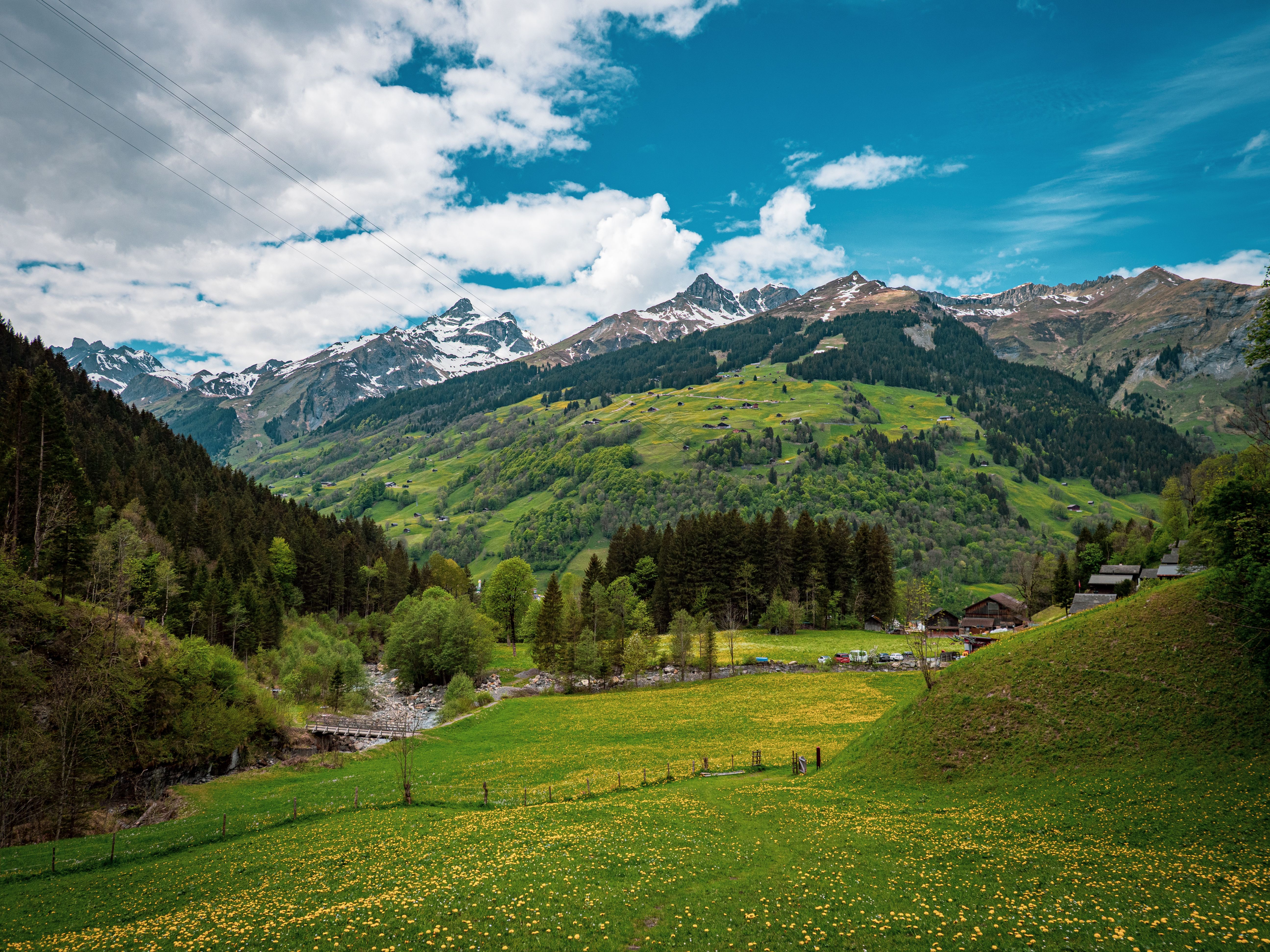
Alpine Traverse Routes
High-elevation corridors through subalpine ecosystems where treeline gives way to rock and ice. These routes cross ridge systems, navigate scree fields, and traverse alpine meadows that exist above commercial trail networks.
Documentation includes detailed elevation profiles, exposure assessments for each section, optimal crossing windows based on snowpack data, and emergency descent routes from every major waypoint.
Routes range from single-day crossings suitable for experienced mountain travelers to week-long expeditions requiring technical navigation and glacier travel skills.
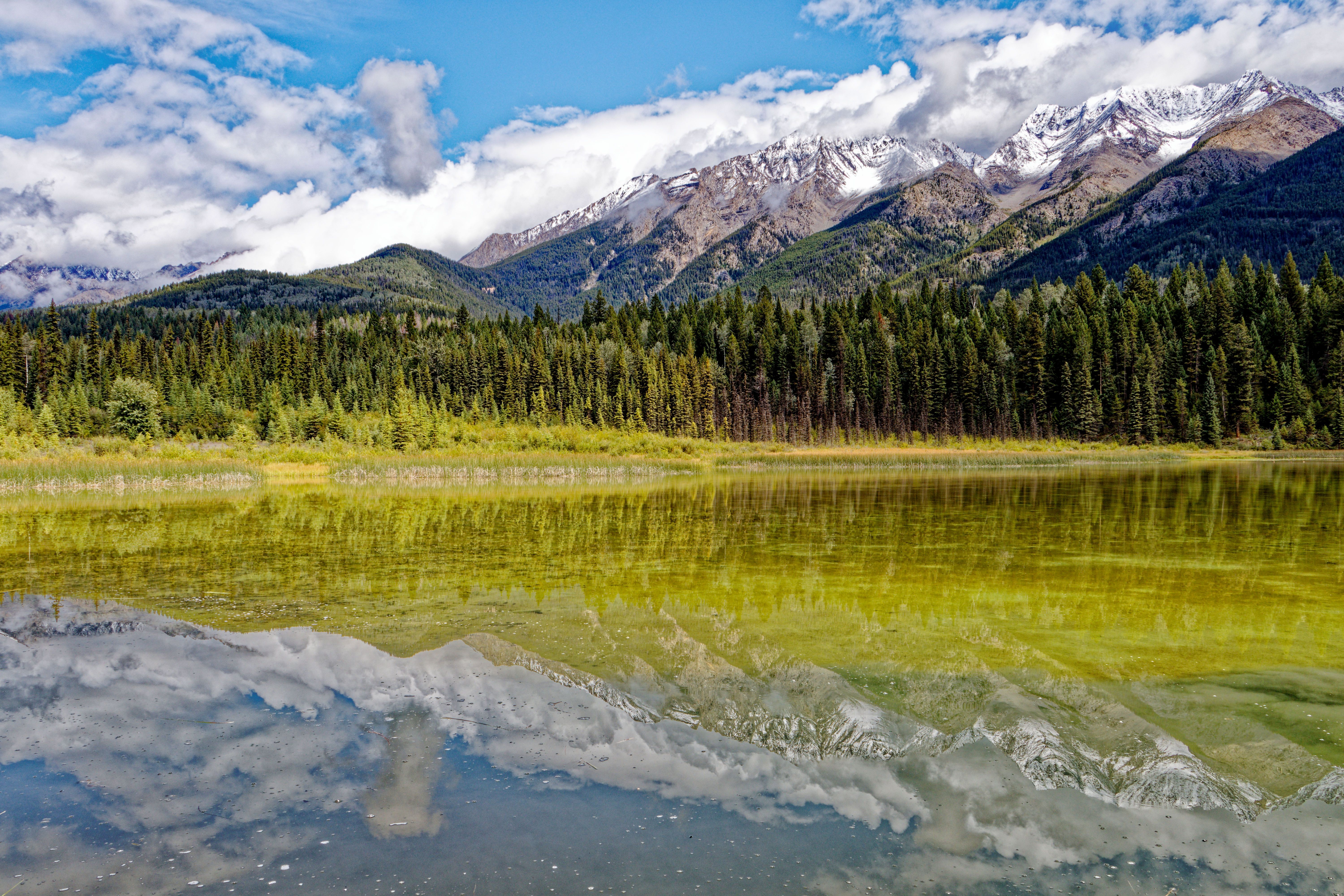
Backcountry Lake Circuits
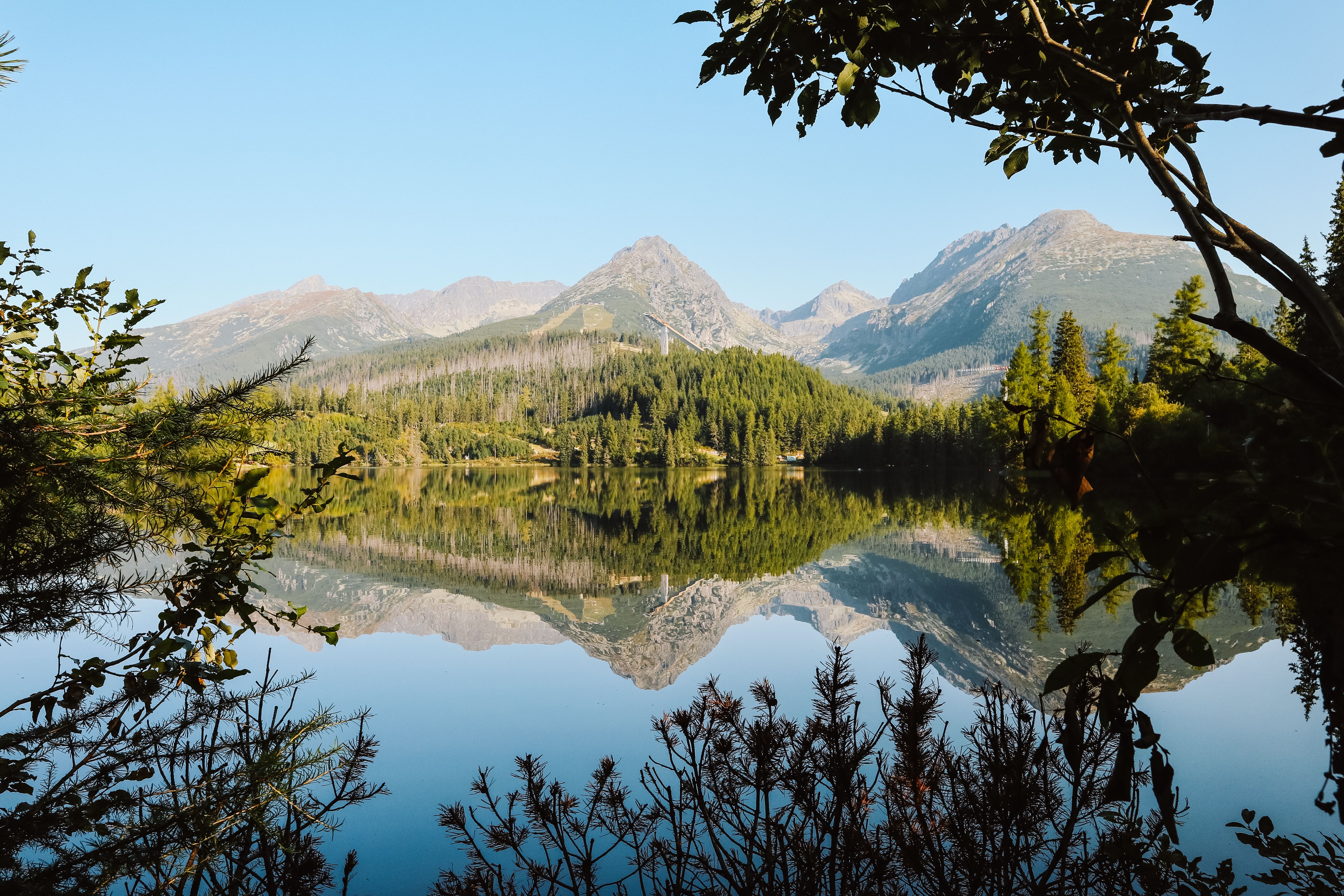
Remote lake systems connected by portage trails and ridgeline passages. Access to waters where the surface has never known a motorboat and shorelines show no evidence of permanent human presence.
Our documentation maps the entire circuit, including portage distances, gradient assessments, and optimal camping locations. We note fish species present, water clarity variations by season, and wildlife activity patterns around each lake.
These routes serve paddlers, anglers, and anyone seeking extended time in lake country. Circuits vary from three-day loops to two-week expeditions.

Geological Heritage Paths
Routes designed to follow and reveal geological formations. Fault lines, fossil beds, volcanic remnants, and glacial erratics. Walking through visible chapters of planetary history spanning millions of years.
Each route includes interpretive notes explaining the formations encountered. We identify specific features worth examination and provide geological context accessible to non-specialists.
These paths appeal to rockhounds, geology students, and travelers interested in deep time. Difficulty levels vary widely depending on terrain.
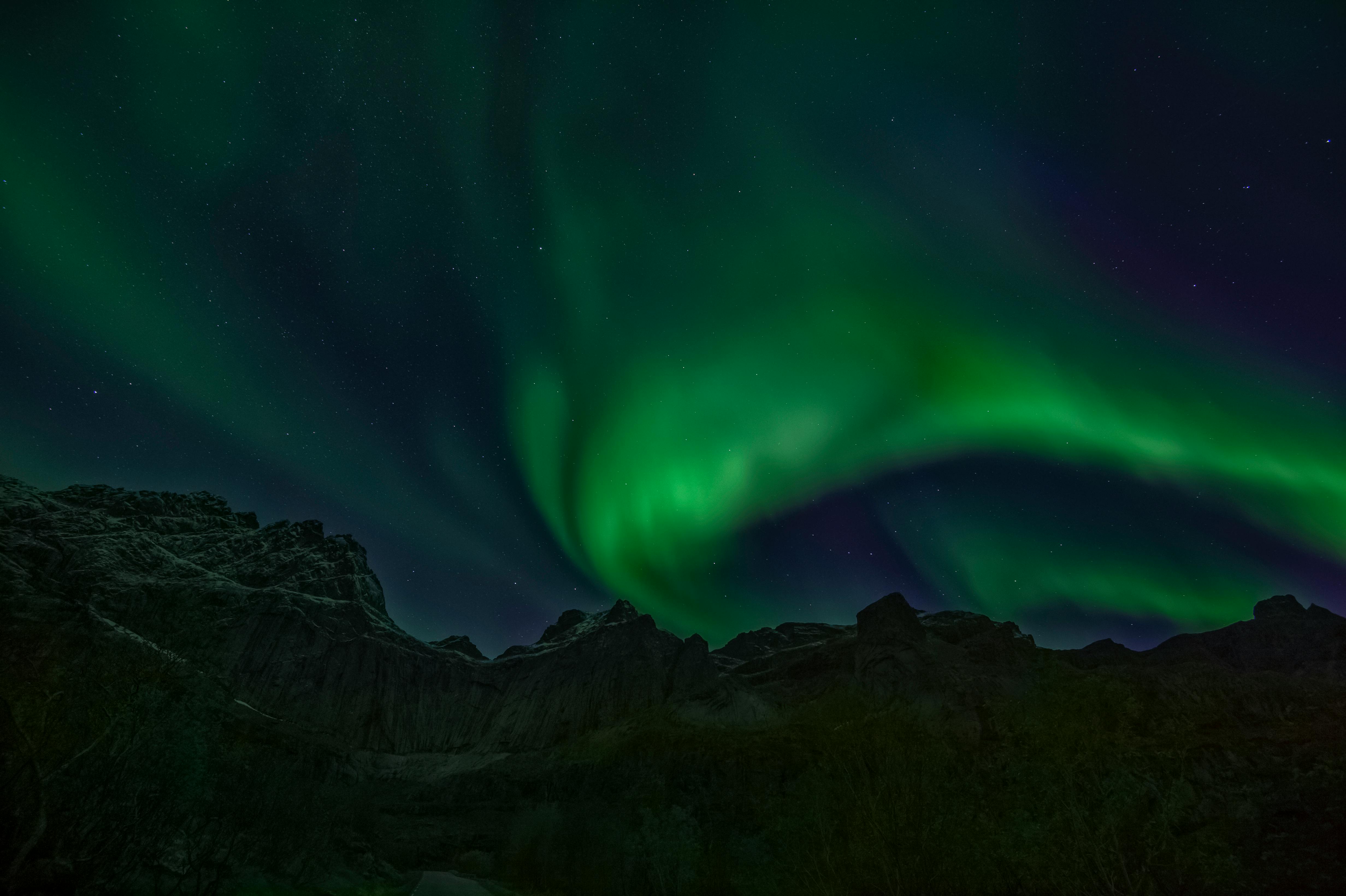
Winter Access Routes
Snowshoe and ski-touring routes designed specifically for winter conditions. These are not summer trails covered in snow—they're routes that only exist when snowpack transforms the landscape.
Documentation includes avalanche terrain classification for every segment, safe travel protocols, wind exposure assessments, and winter-specific navigation notes. We map shelter locations and emergency bivouac sites.
Routes are graded for both technical difficulty and avalanche risk. All require winter travel experience and appropriate safety equipment.
Multi-Park Connectors
Routes linking separate park systems through wilderness corridors. These are extended expeditions—ten to fourteen days—designed for experienced backcountry travelers comfortable with route-finding and self-sufficiency.
Connectors pass through protected areas, Crown land, and sometimes private land requiring permission. Our documentation includes all necessary access information, resupply options, and communication deadlines.
These routes reveal how park systems exist within larger ecological networks. You see not just parks but the wild country between them.

Forest Canopy Trails
Lower-elevation routes through old-growth forest. Ideal for wildlife observation, botanical study, and shoulder-season travel when high country remains inaccessible.
These routes emphasize biodiversity rather than dramatic vistas. We document tree species, understory composition, mushroom seasonality, and animal trails intersecting the route.
Forest routes are generally less physically demanding than alpine travel but require different observational skills. They reward patience and attention to small details.