
Most people visit national parks and see only what's visible from parking lots. They follow crowded boardwalks, snap photos at designated viewpoints, and leave thinking they've experienced wilderness.
We've spent seventeen years mapping routes that take you beyond those boundaries. Into valleys where morning mist still clings to ancient cedars. Across ridges where caribou trails intersect with geological time.
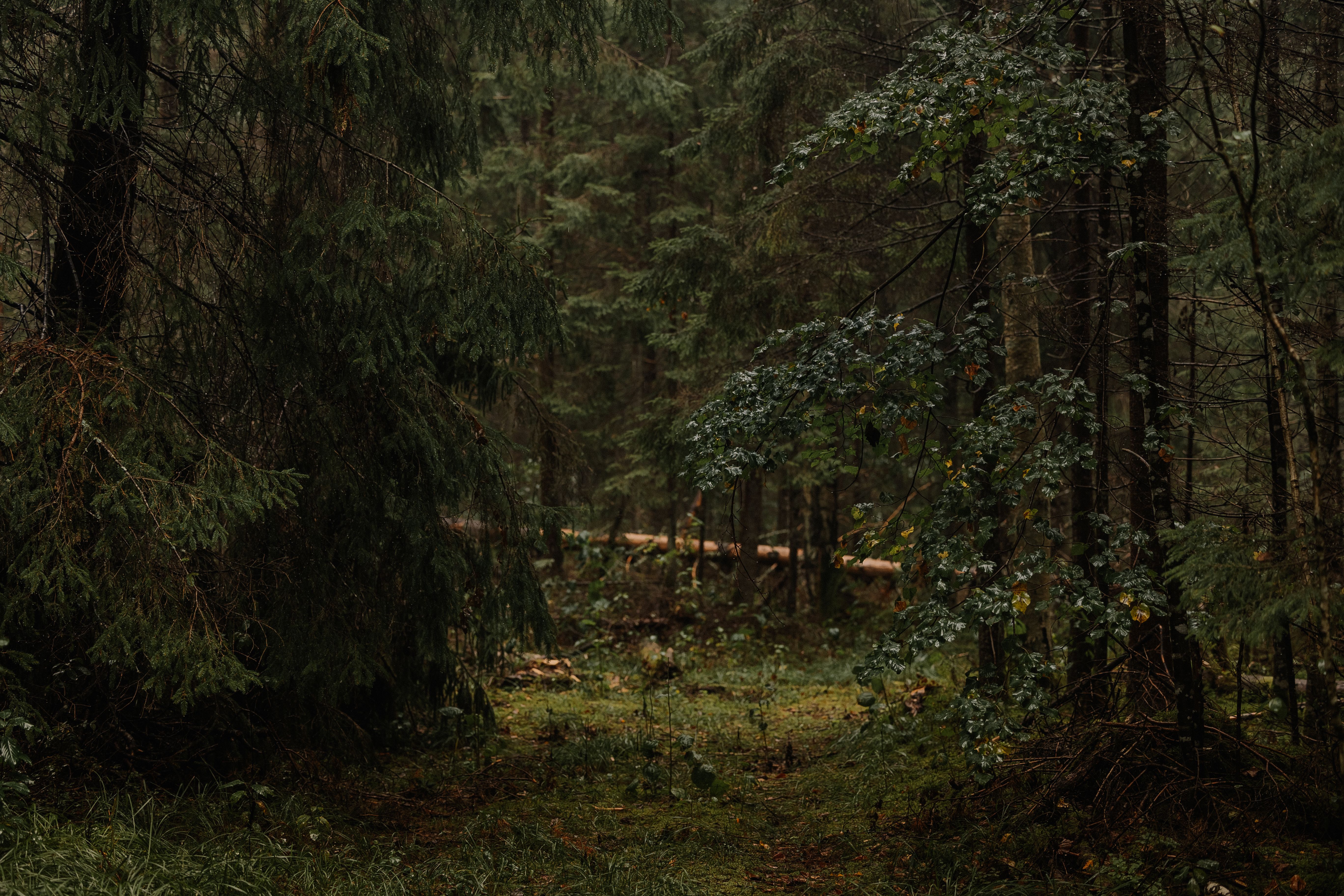
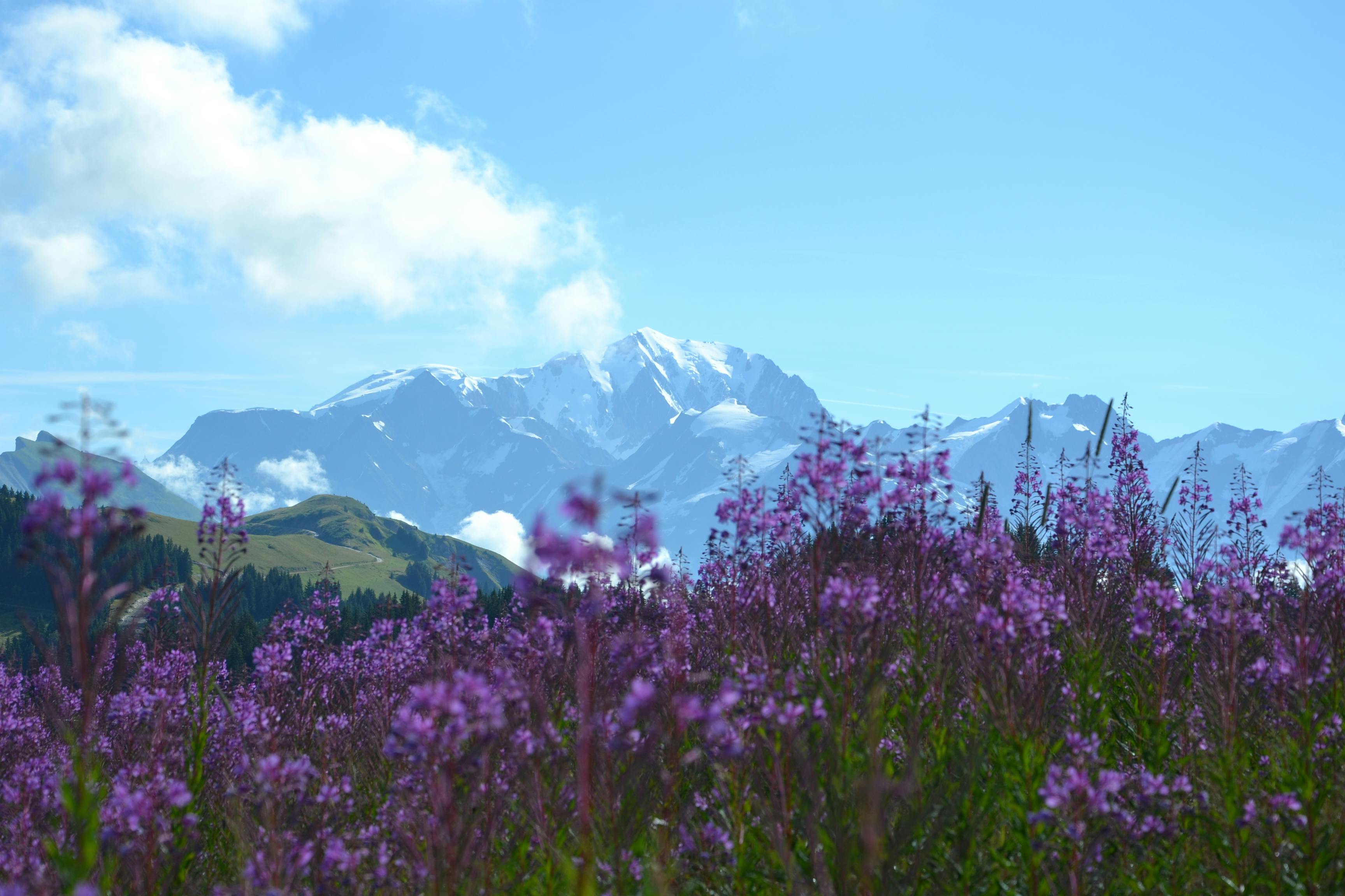
High-elevation corridors through subalpine ecosystems. Routes range from single-day crossings to week-long expeditions above the treeline.
$347 CAD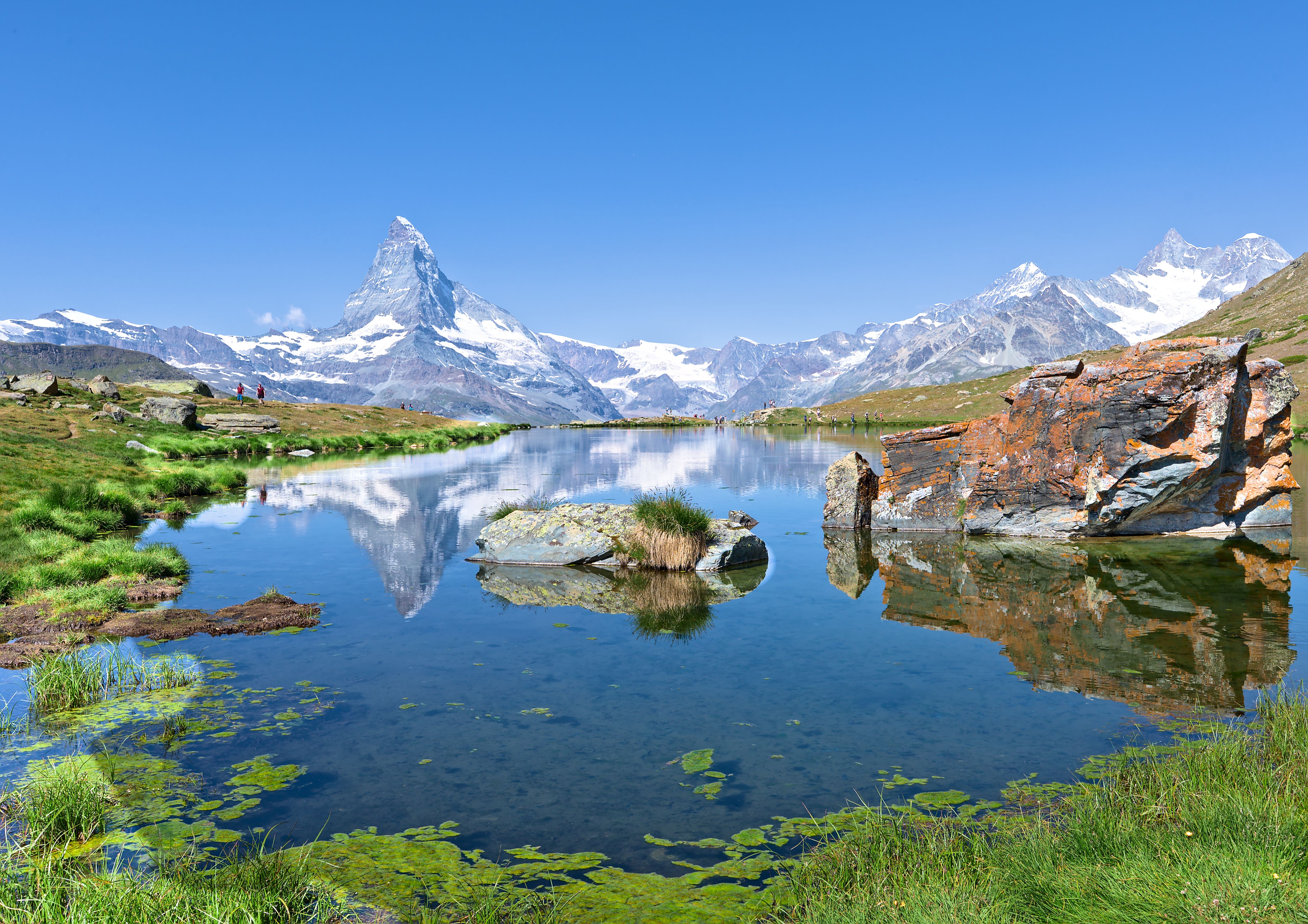
Remote lake systems connected by portage trails and ridgeline passages. Access to waters where surface has never known a motorboat.
$289 CAD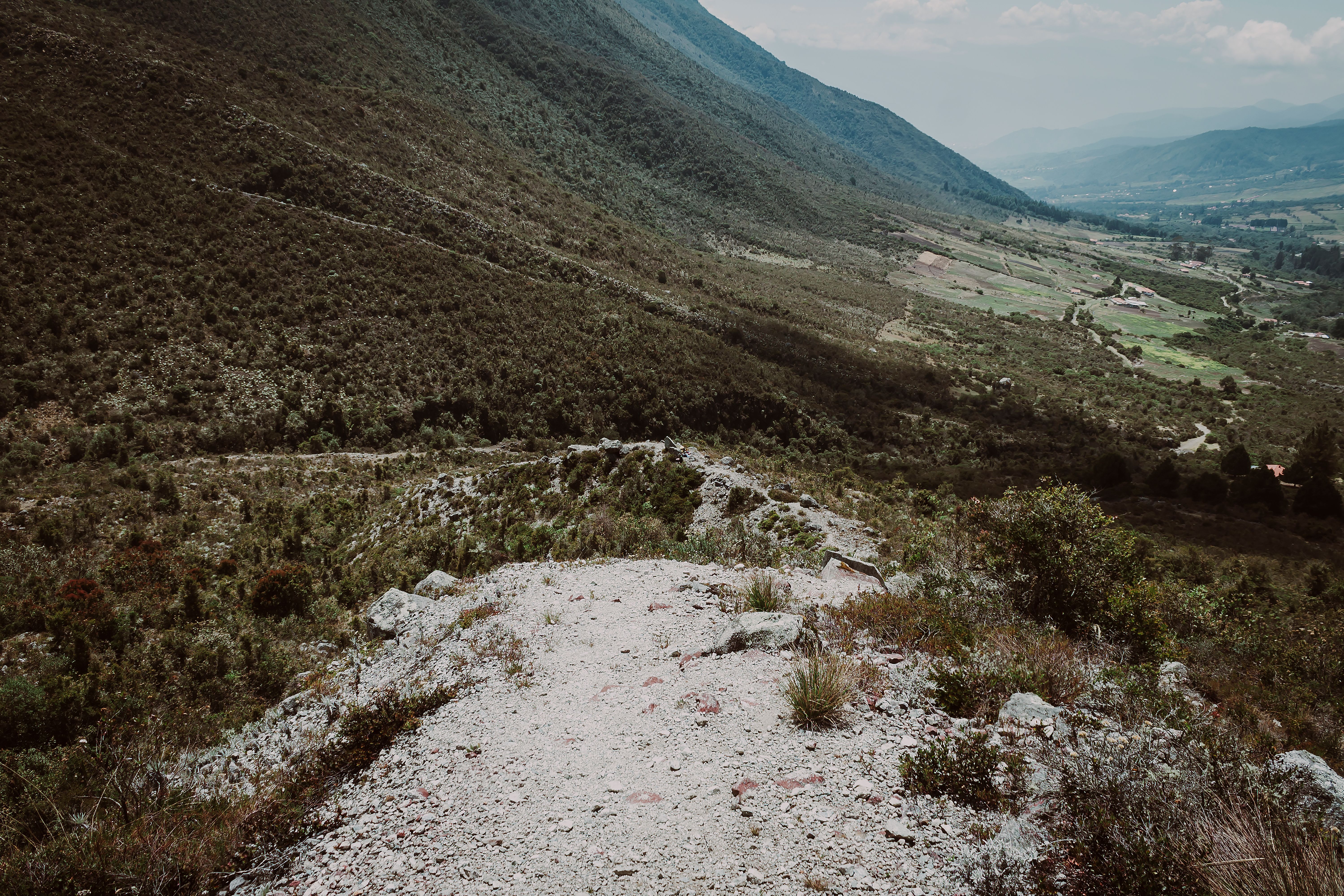
Routes following fault lines, fossil beds, and volcanic formations. Walking through visible chapters of planetary history.
$412 CAD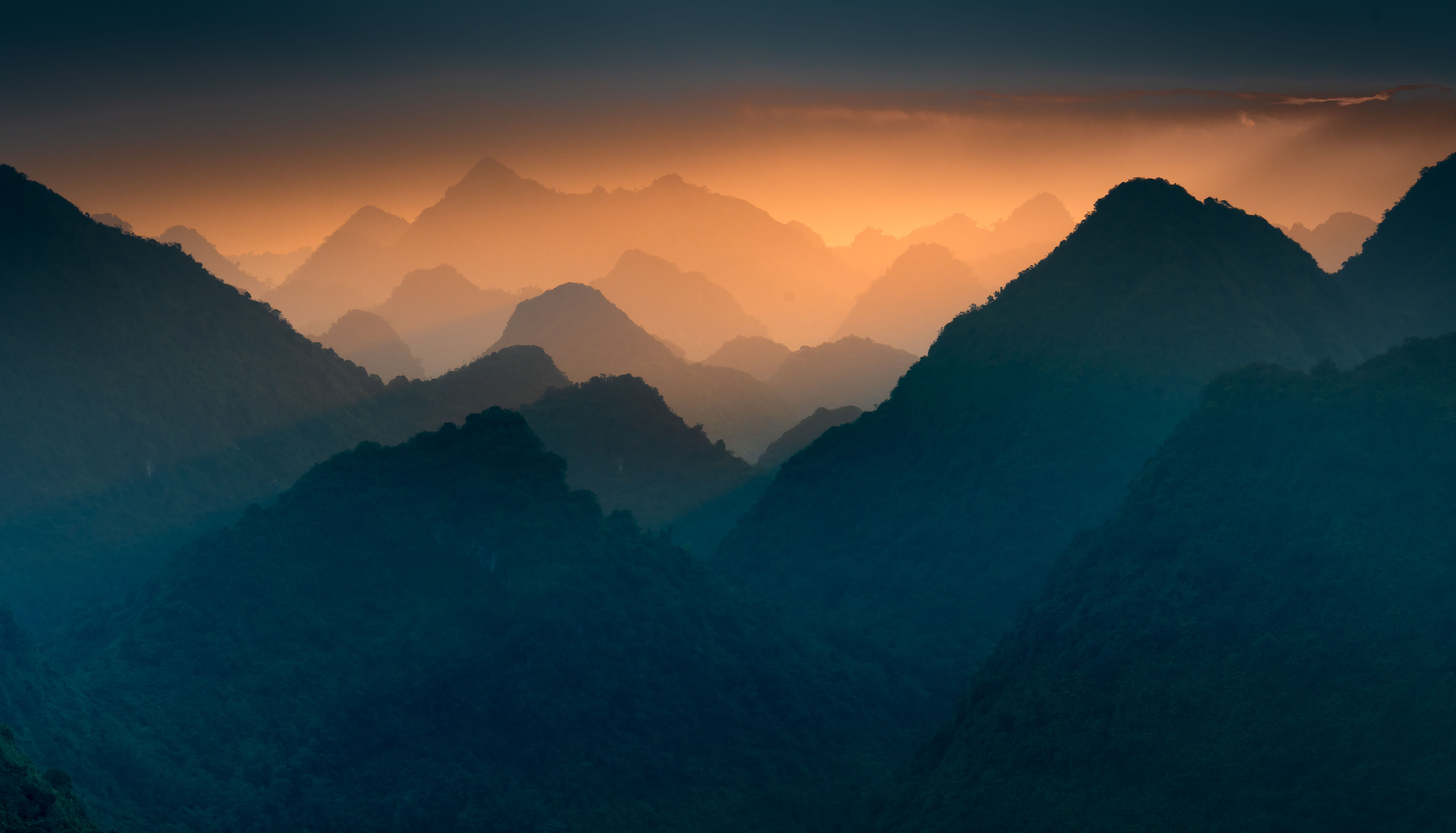
Every route is walked in at least three different seasons. We document snow conditions, water crossings, and wildlife activity patterns throughout the year.
Trail junctions that don't appear on official maps. Cairn locations. Tree blazes. The kind of detail that matters when weather reduces visibility to fifteen meters.
Precise coordinates for springs, streams, and snowmelt channels. Flow rates by month. Filtration requirements for each source.
"I've been hiking Canadian parks for thirty years. These routes showed me terrain I never knew existed in places I thought I knew completely."
— Marcus Chen, wilderness guide
Snowshoe and ski-touring routes designed for winter conditions. Avalanche terrain assessment included for each passage.
$523 CADRoutes linking separate park systems through wilderness corridors. Ten to fourteen day expeditions for experienced travelers.
$698 CADLower-elevation routes through old-growth forest. Ideal for wildlife observation and botanical study during shoulder seasons.
$256 CAD